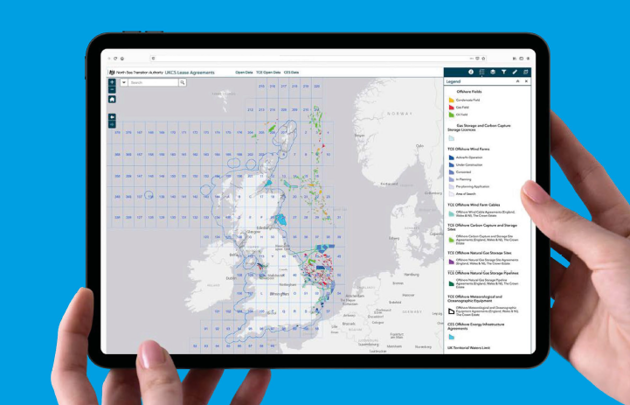


There are multiple ways to access the NSTA's data; through web mapping services, downloads, dynamic links, Power BI, Dashboards and via APIs. Some of these can be accessed within your own GIS software or directly in web maps and applications, removing the data management overhead. You should contact your software vendor if you are unsure on how to connect to services and APIs in your chosen software.

Publicly available rest services
These are provided in the four most common coordinate reference systems (CRS) used within the NSTA and the oil and gas industry, as shown below:

NSTA virtual map gallery tour
Take a look at some of our most popular and newest maps; and get some hint and tips on how to use them.