On this page you can find links to our quadrant maps, wall maps and supporting publications in PDF format
Quadrant maps
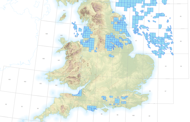
This mapping application shows the quadrants of the UKCS. Click a quadrant for the link to the pdf quadrant map.

Area maps
Printable maps of oil and gas activity in the UKCS
Other maps
Other printable maps of the UKCS